the courses
25 km // 60km events
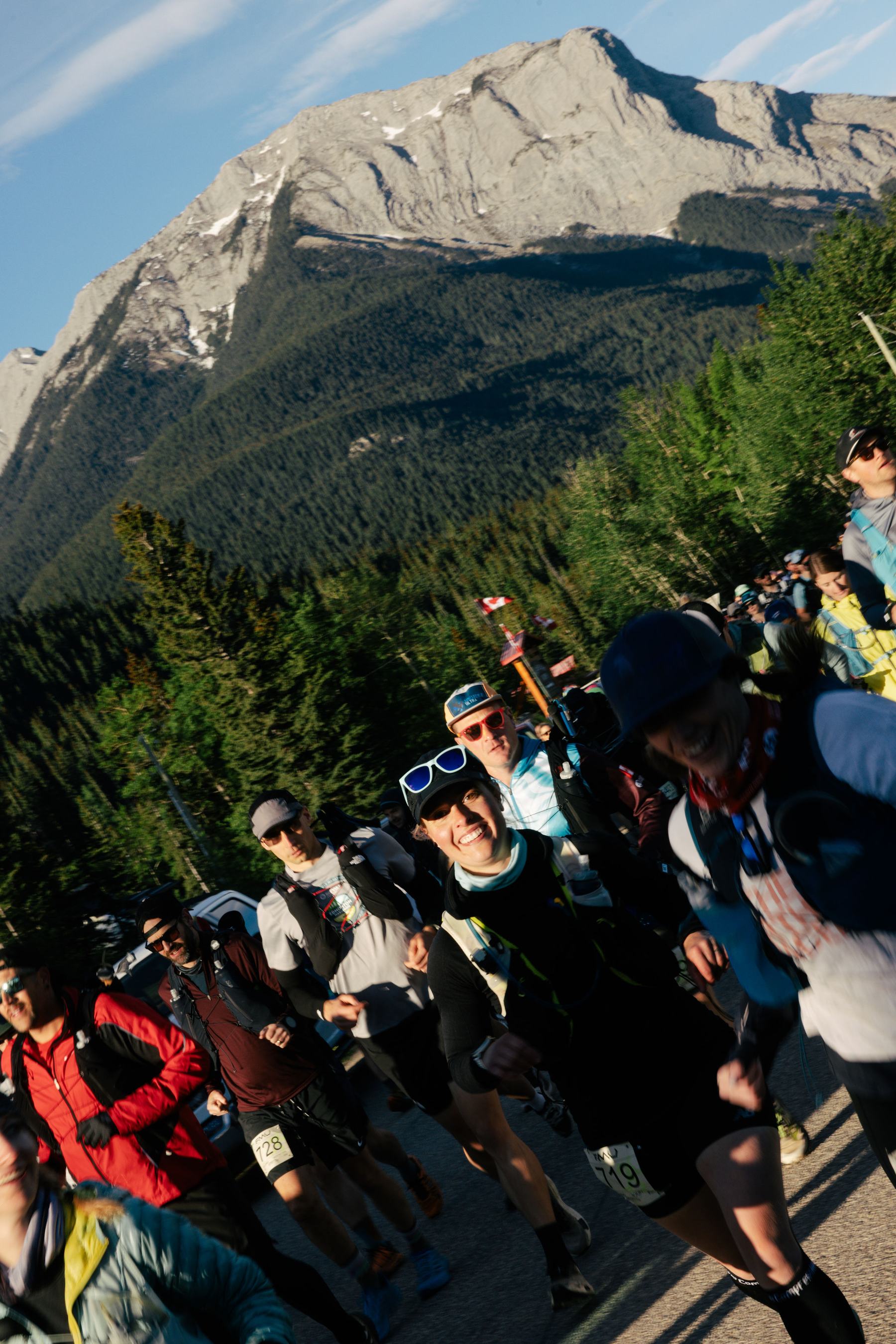
Both events start and finish at the Landing and head up Folding Mountain
the courses
Both events start and finish at the Landing and head up Folding Mountain
the full range
Two legs: Cap Ridge loop, then the full climb of Folding Mountain and a scree crossing near the summit before a ridge of never-ending mountain views.
Tap or hover a station for the detail · drag the profile to read distance and elevation · click the map to zoom
Relay legs
Leg 1
Start to AS 3 / relay transition
Leg 2
AS 3 / relay transition to finish
The 60 km
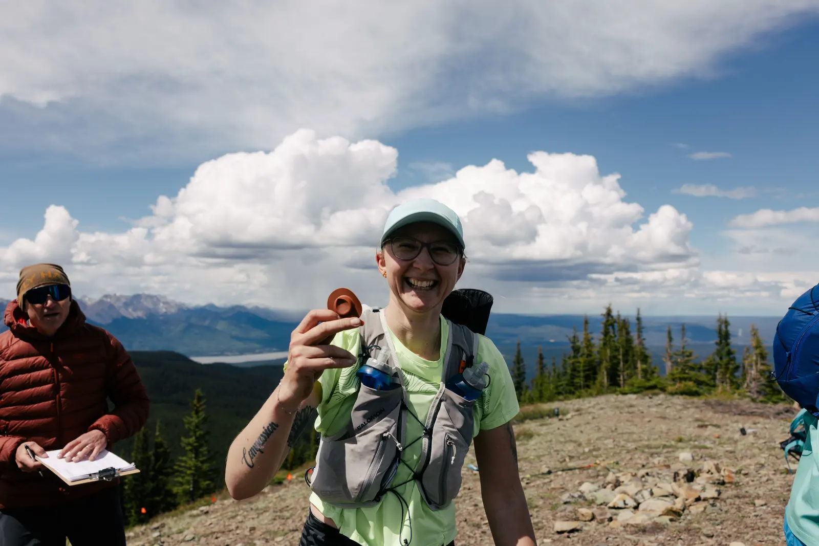
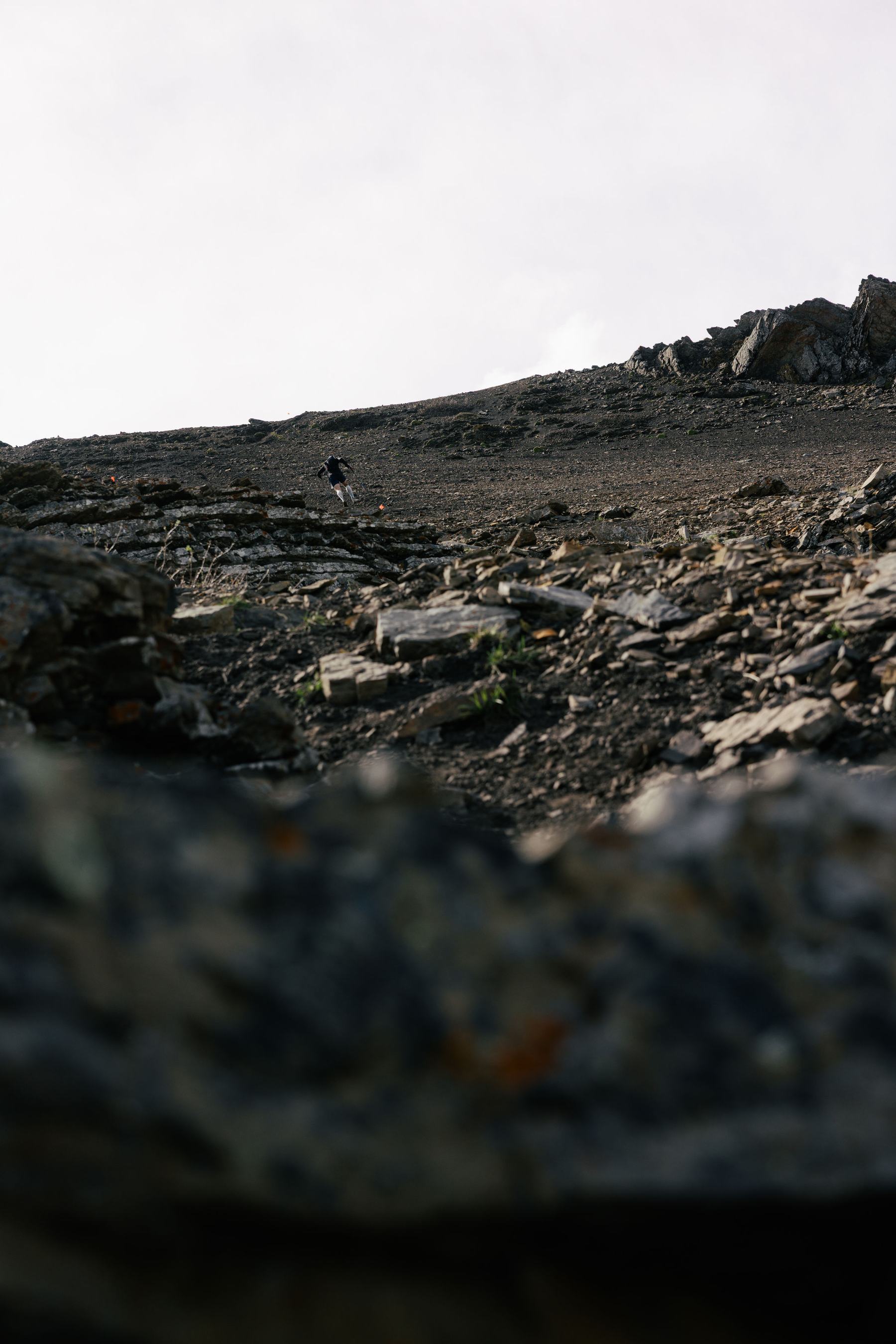
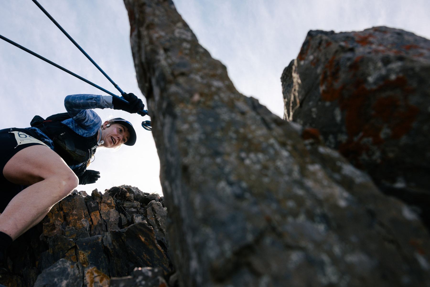
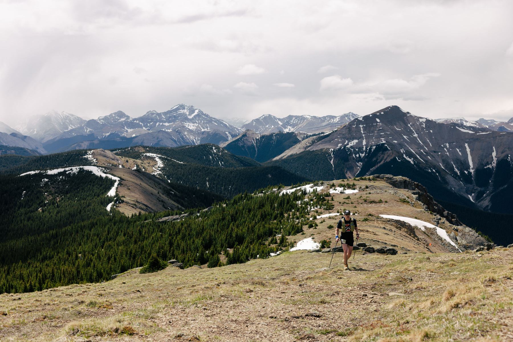
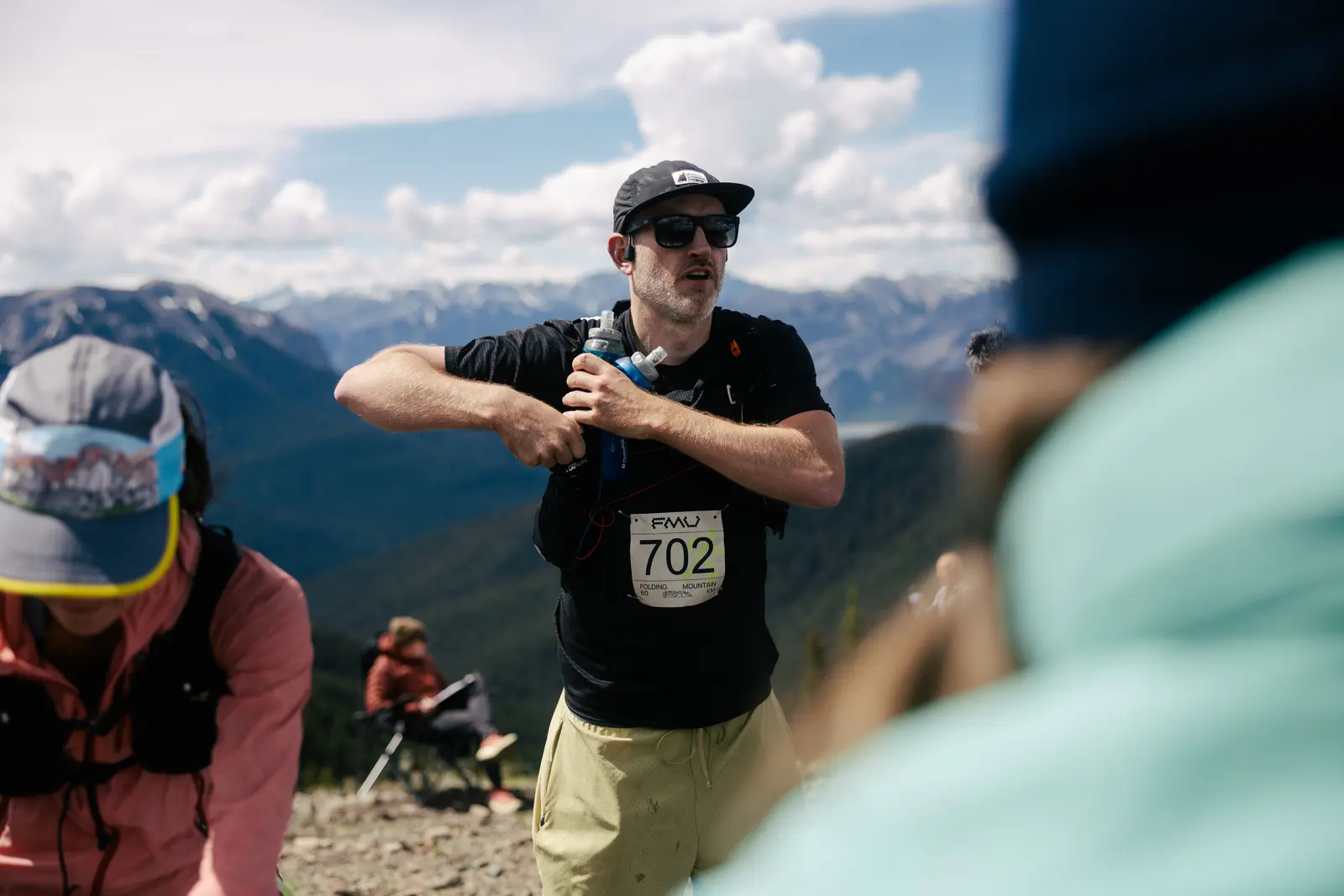
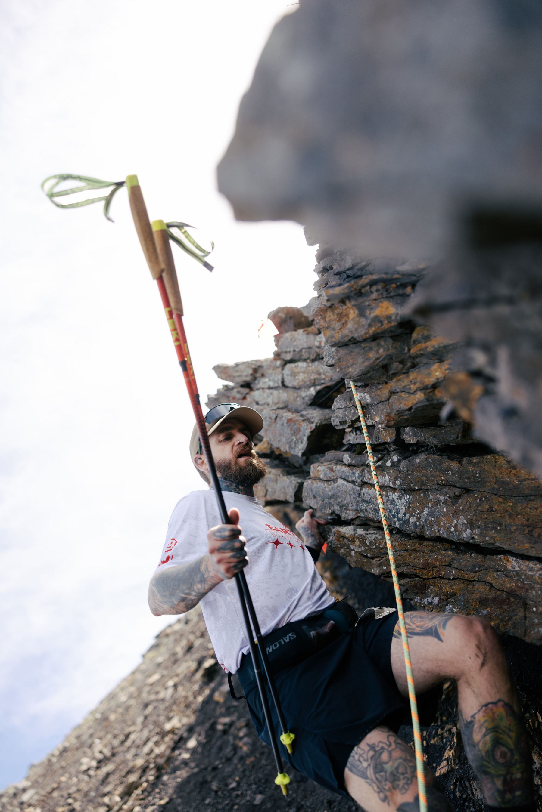
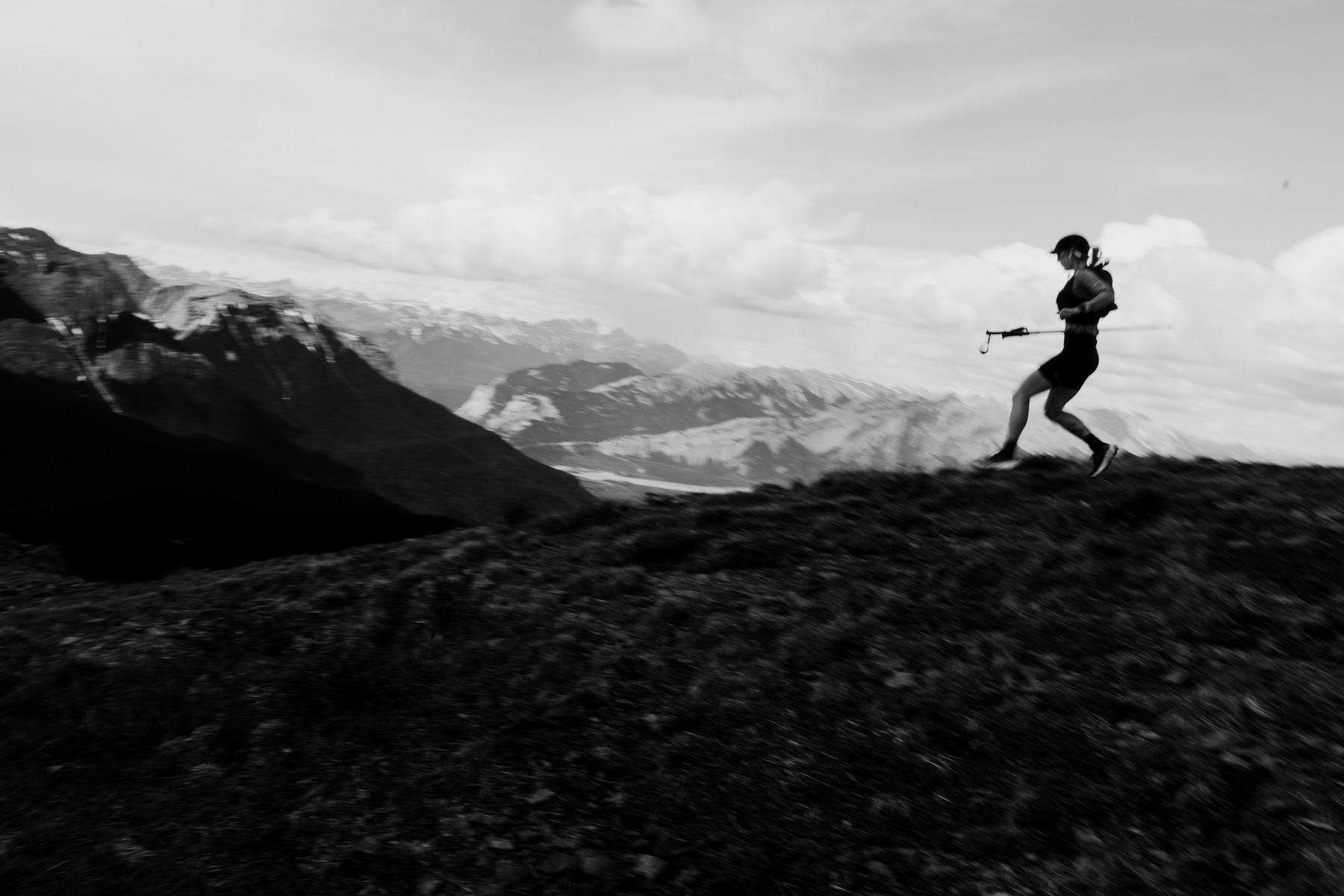
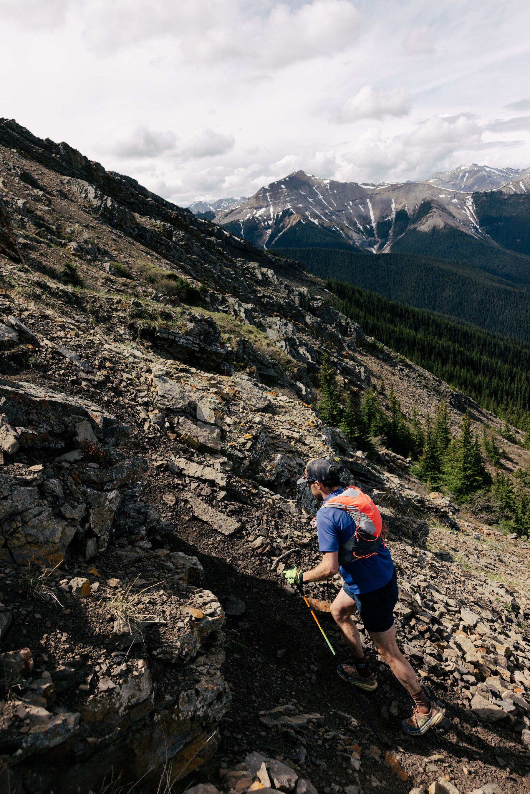
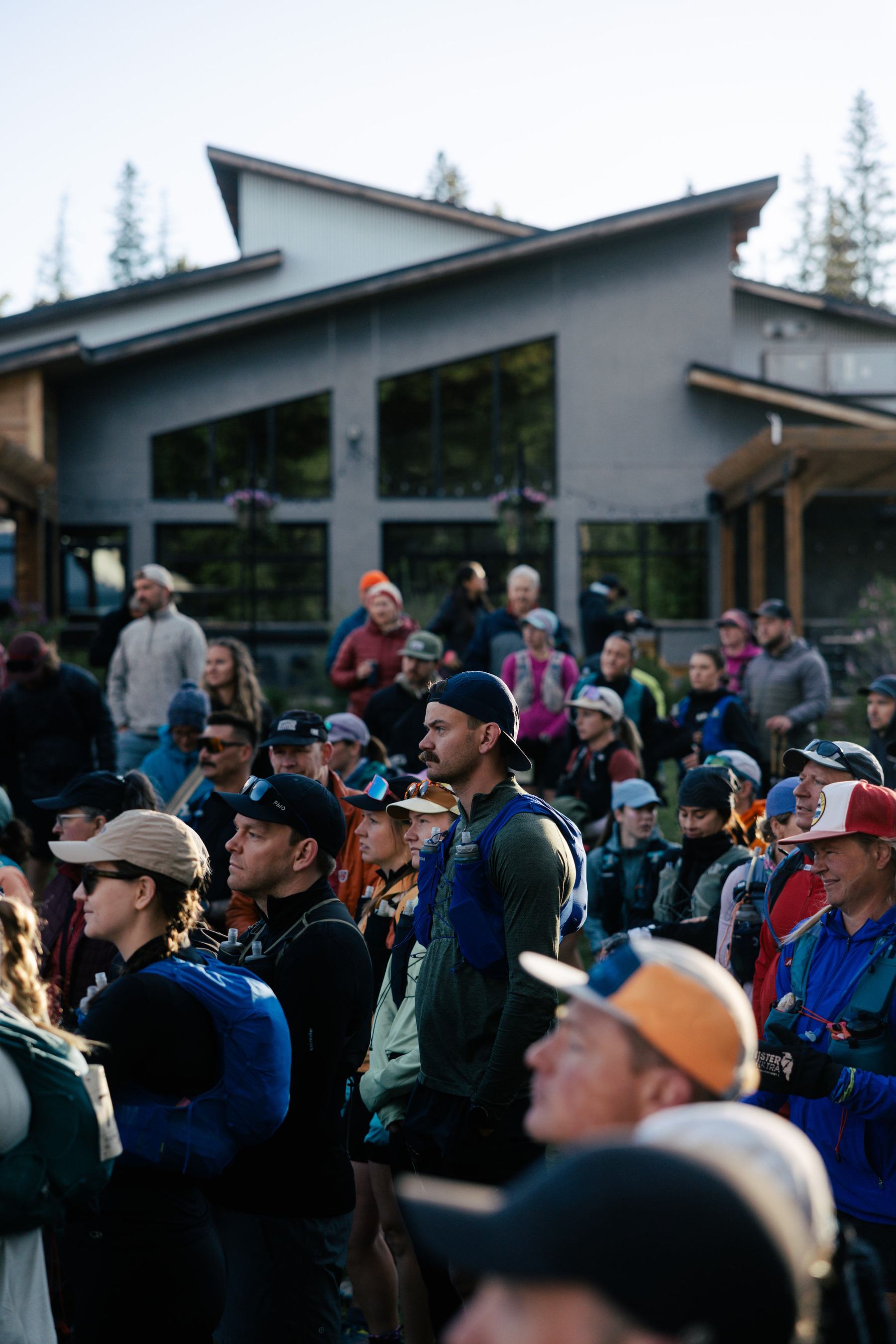
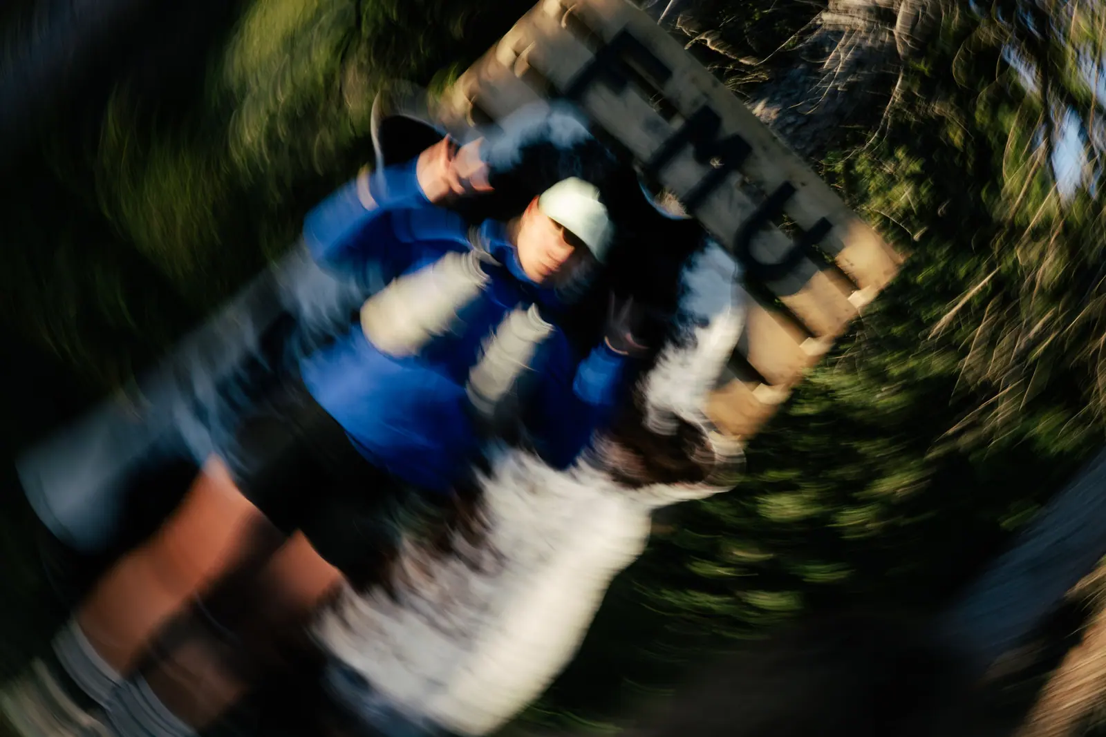
Out through Folding Mountain Village on trail, onto the Terrace Sawmill road and up to Aid Station 1. From there it climbs about 900 m to crest Cap Ridge, then drops back down the sawmill road and retraces the village trail to the Landing and Aid Station 3.
Respect the land. Between the start and AS 1 the course passes through a culturally significant Indigenous site. No photos or video in this section.
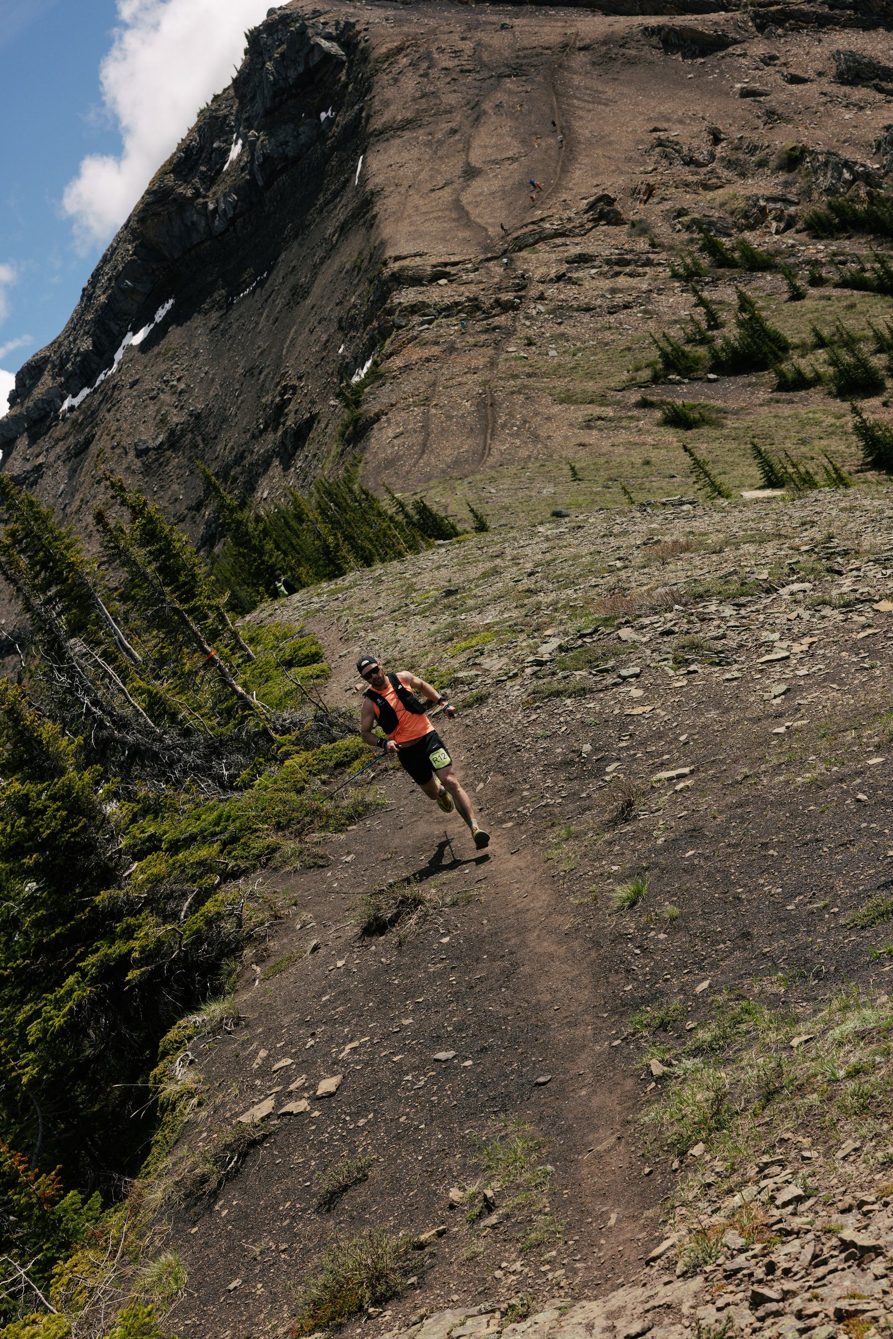
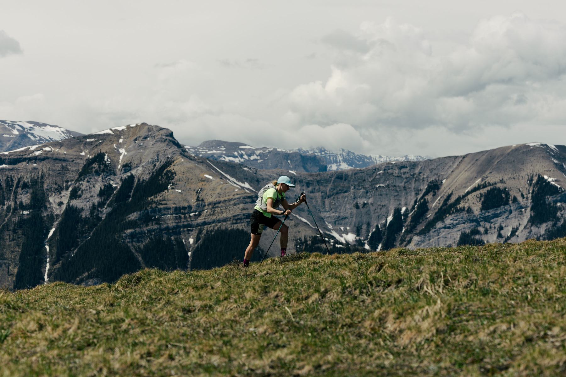
Straight into the grind. About 890 m of climbing in the 7 km out of basecamp, with most of it in the first four. Above the treeline it opens into alpine forest and ridgeline all the way to the false summit at AS 4.
A short scree crossing sits just above the station — loose gravel on a steep slope, short and well travelled, but it wants good grip and poles. Over the top at 2,083 m, then out along the ridge to the turnaround before coming back the same way.
Drop bags go to Aid Station 3. AS 3 is the start/finish at Folding Mountain Landing, which every runner comes back through before heading up Folding Mountain. It is the only drop bag point on either course — 60 km and 25 km both leave bags there.
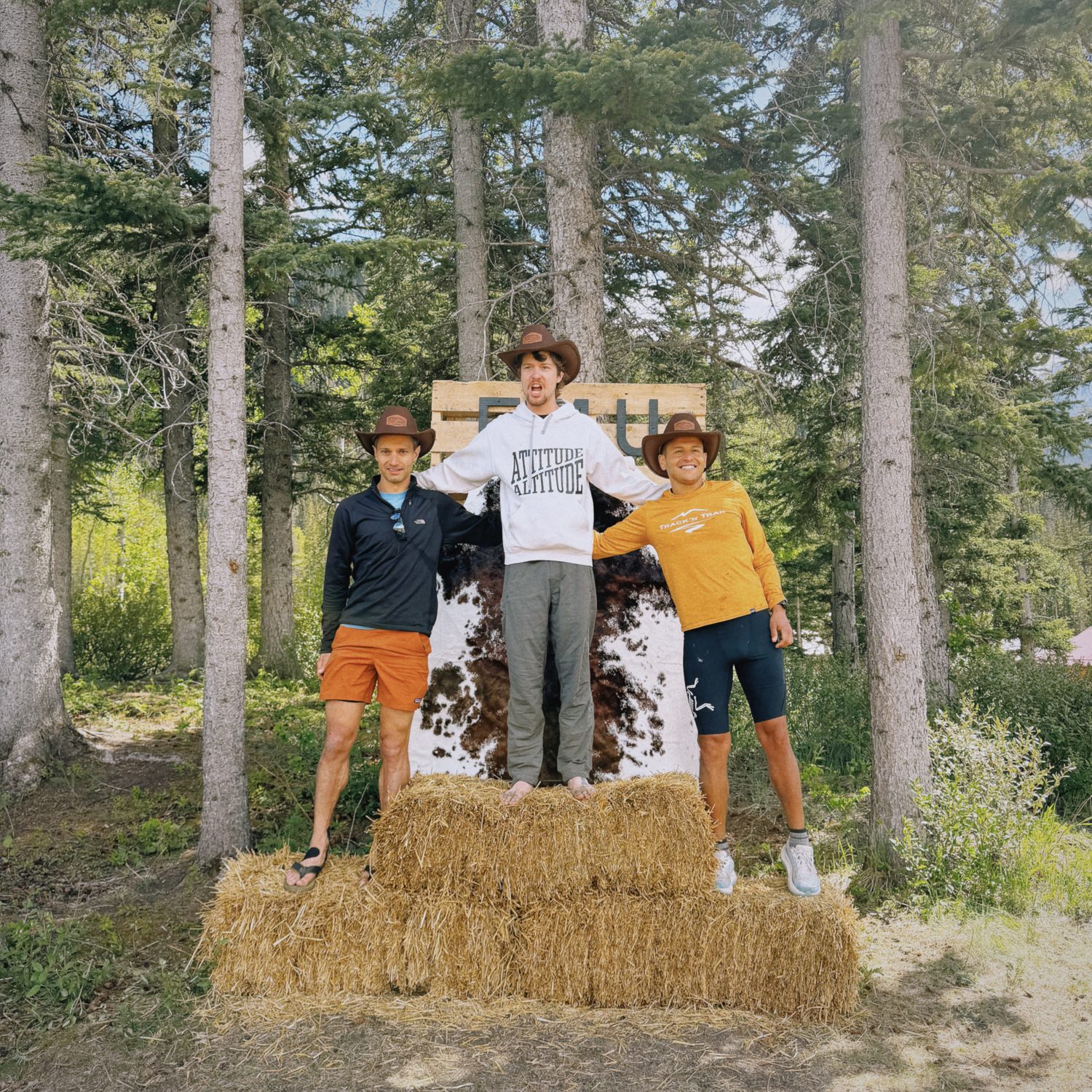
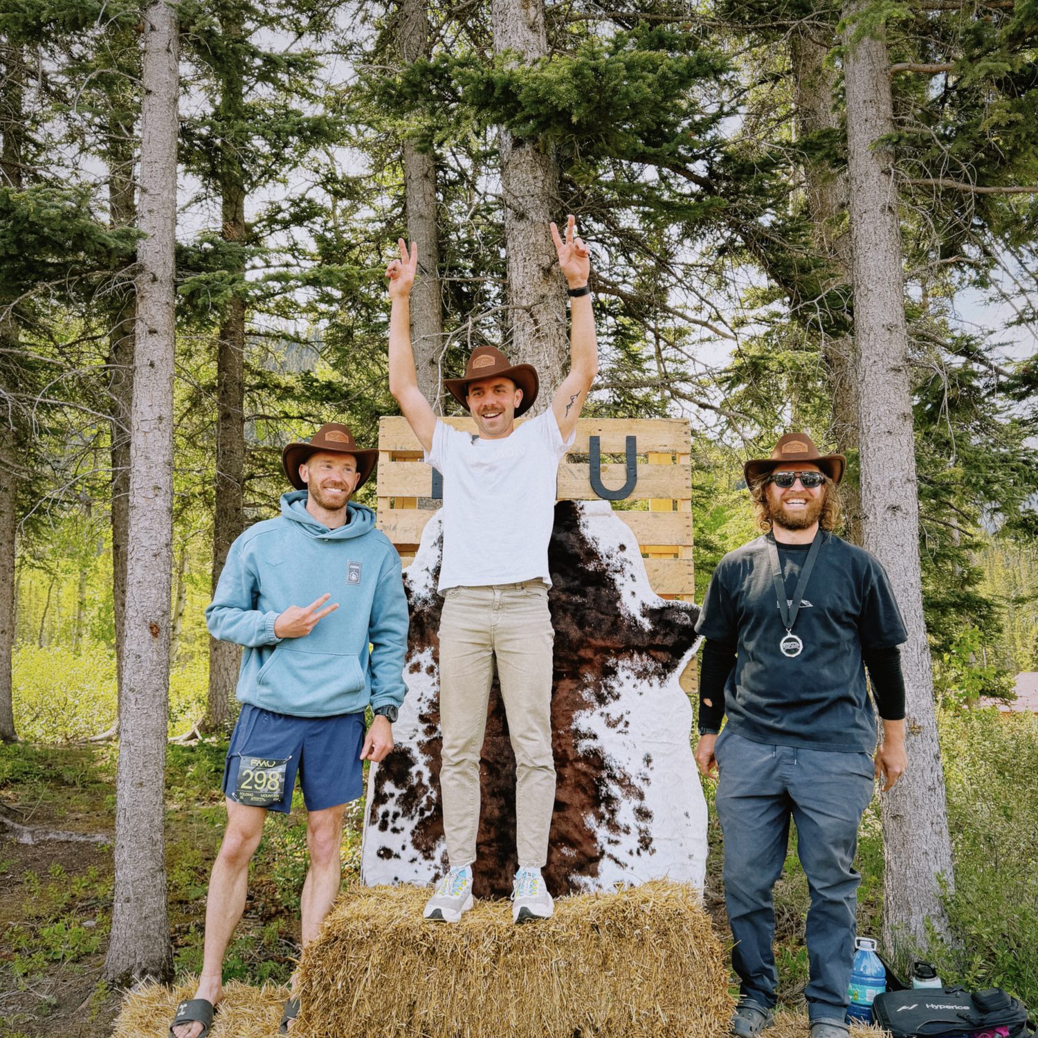
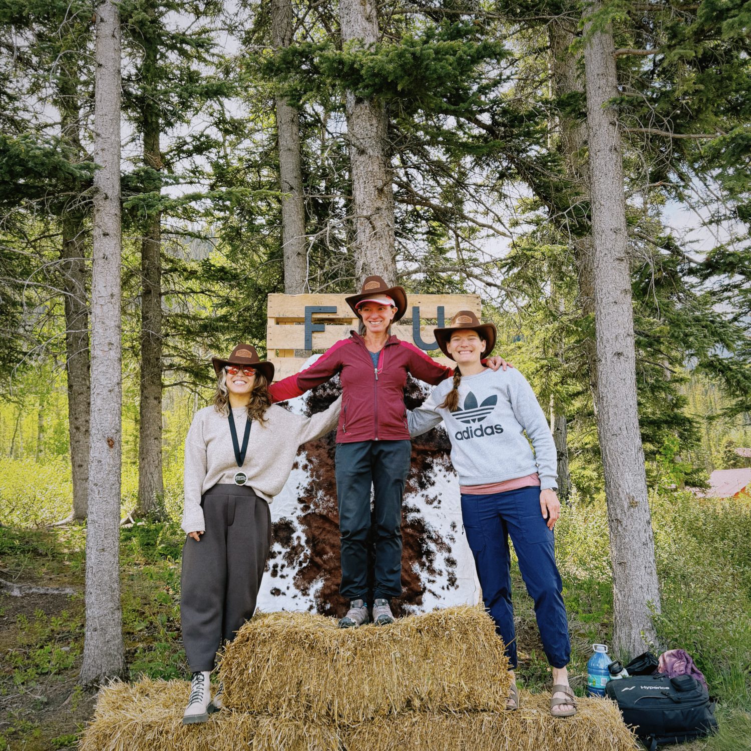
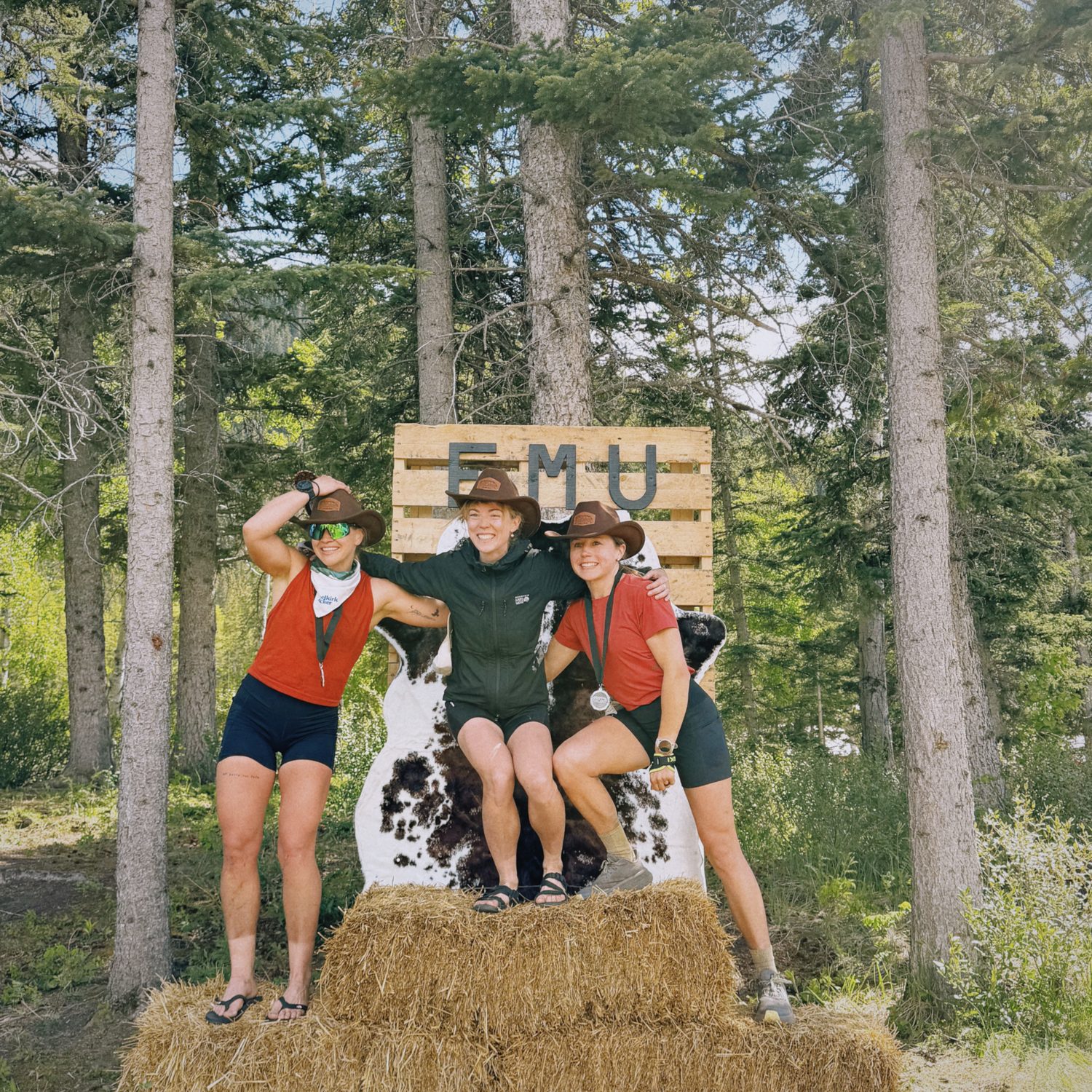
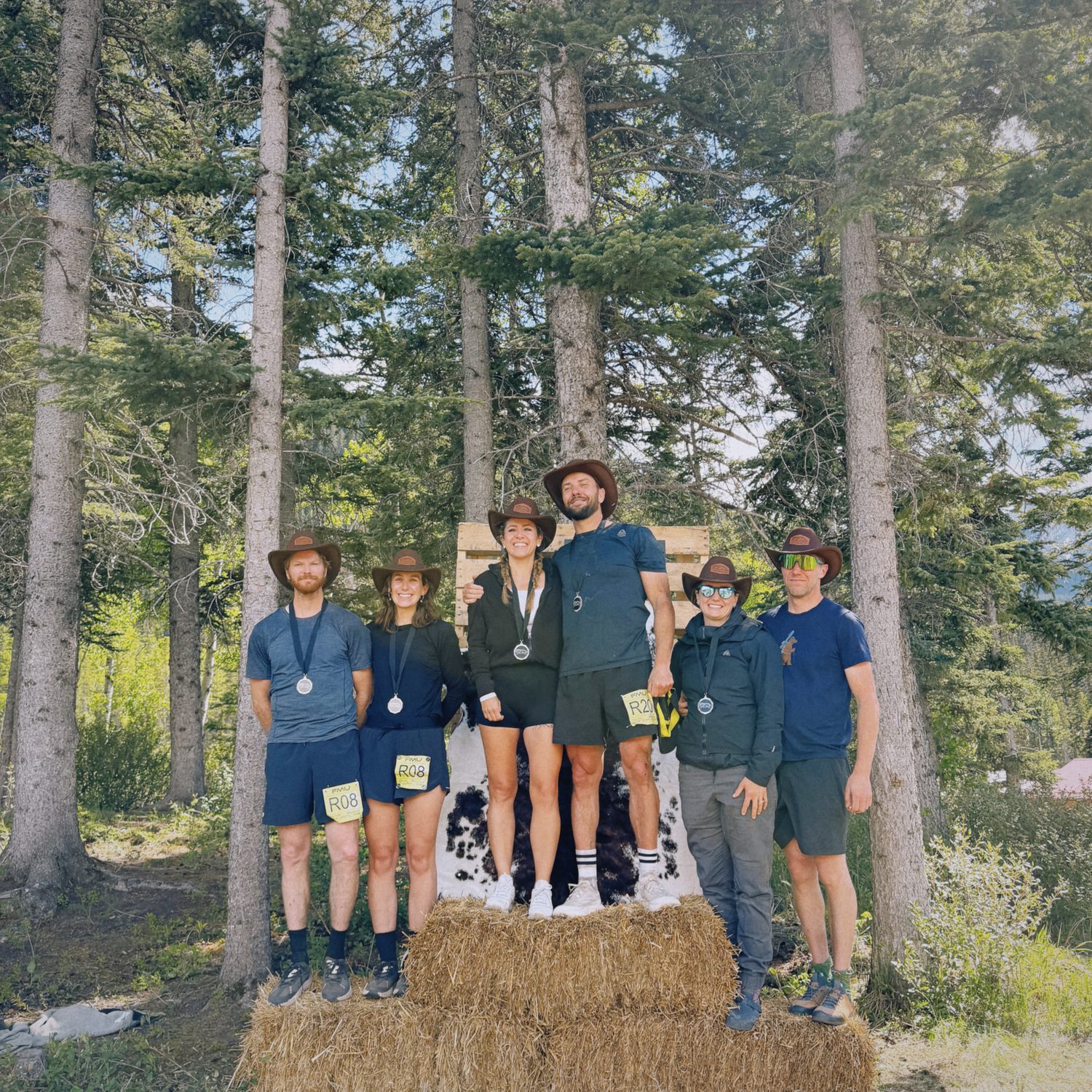
Cowboy hat token. Collect yours at the turnaround and hand it in at AS 5. No token, no finish.
Aid stations — 60 km
| Station | Km | Altitude | Leg | Climb | Descent | Notes |
|---|---|---|---|---|---|---|
| START | 0.0 km | 1,148 m | — | — | — | — |
| AS 1 | 6.0 km | 1,107 m | 6.0 km | +125 m | −170 m | — |
| AS 2 | 21.0 km | 1,547 m | 15.0 km | +775 m | −335 m | — |
| AS 3 / TA | 32.8 km | 1,148 m | 11.8 km | +120 m | −520 m | Leave by 1:00 PM · Drop bags · Relay exchange |
| AS 4 | 40.2 km | 1,955 m | 7.4 km | +890 m | −80 m | Leave by 3:00 PM · AS 4/5 — same station |
| AS 5 | 53.2 km | 1,955 m | 13.0 km | +670 m | −675 m | AS 4/5 — same station |
| FINISH | 60.1 km | 1,148 m | 6.9 km | +80 m | −875 m | Closes 8:00 PM |
Cutoffs are the time you leave, not arrive. Drop bags are at AS 3 only. Porta-potties at the start/finish and AS 3.
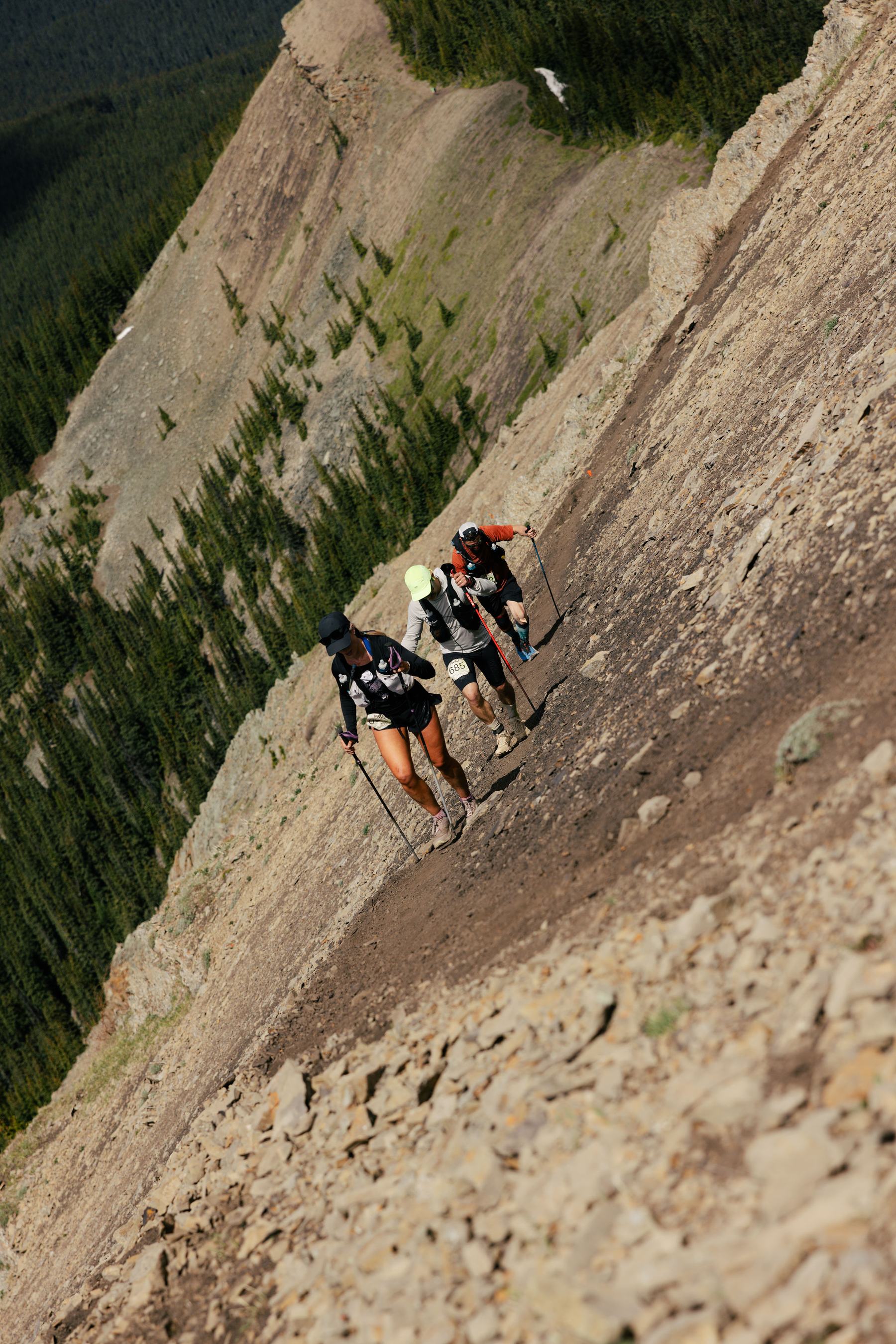
60 km solo & leg 2 relay
Everyone on the 60 km crosses it twice — once heading out to the turnaround, once on the way back.
Loose gravel on a steep slope, just above Aid Station 4. It is short and well travelled, but it is exposed and it can rattle you. Take your time, use your poles, and wear shoes with real grip.
Scree patrol is on the slope all day. First runner to last, in both directions, to help runners across.
The 25 km turns around at AS 4, below the scree. You do not cross it.
the folding ascent
A fast loop before climbing Folding Mountain to the false summit with stunning views of Jasper National Park and the Athabasca Valley while running alongside Roche à Perdrix.
Tap or hover a station for the detail · drag the profile to read distance and elevation · click the map to zoom
The 25 km
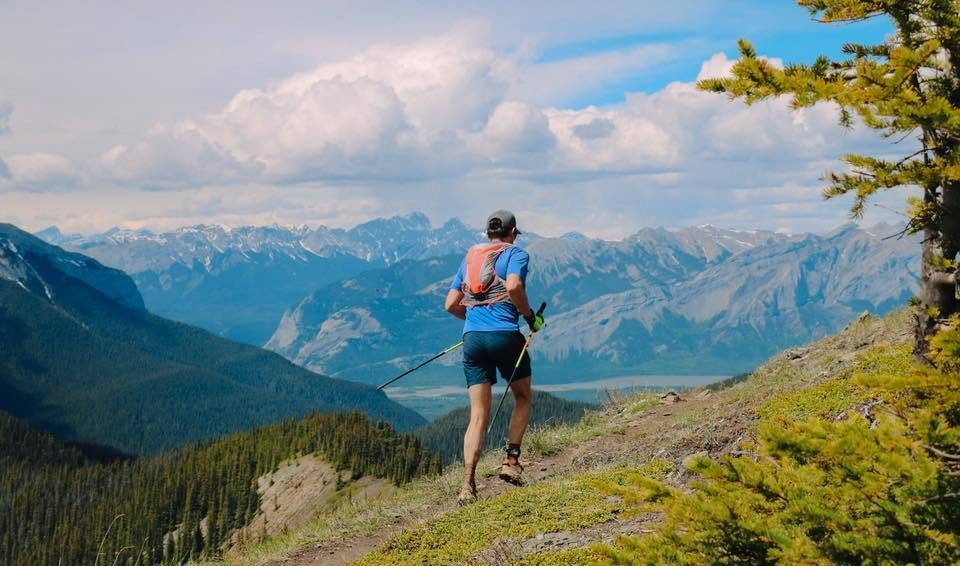
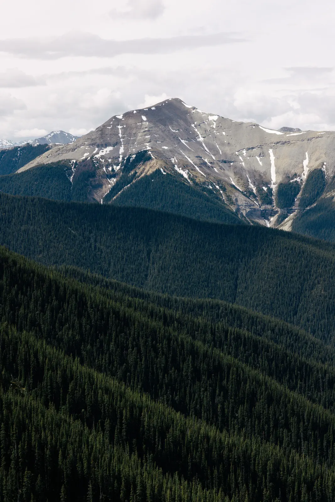
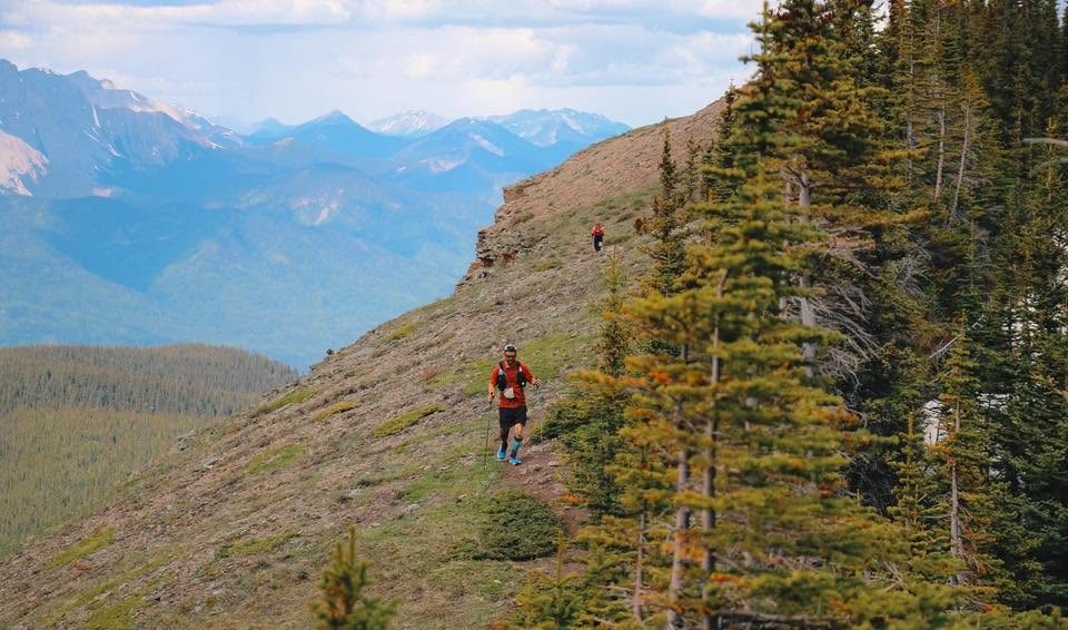
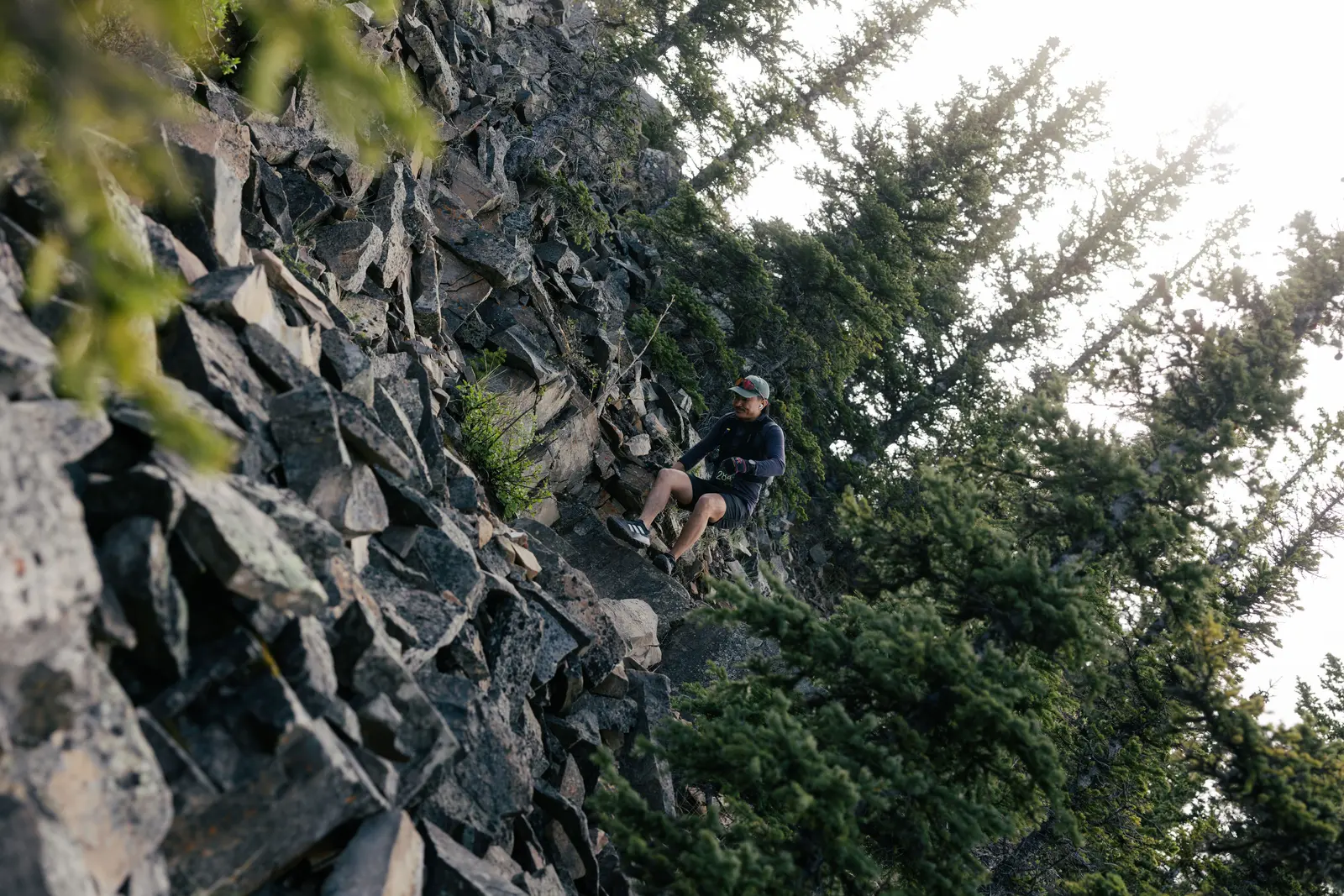
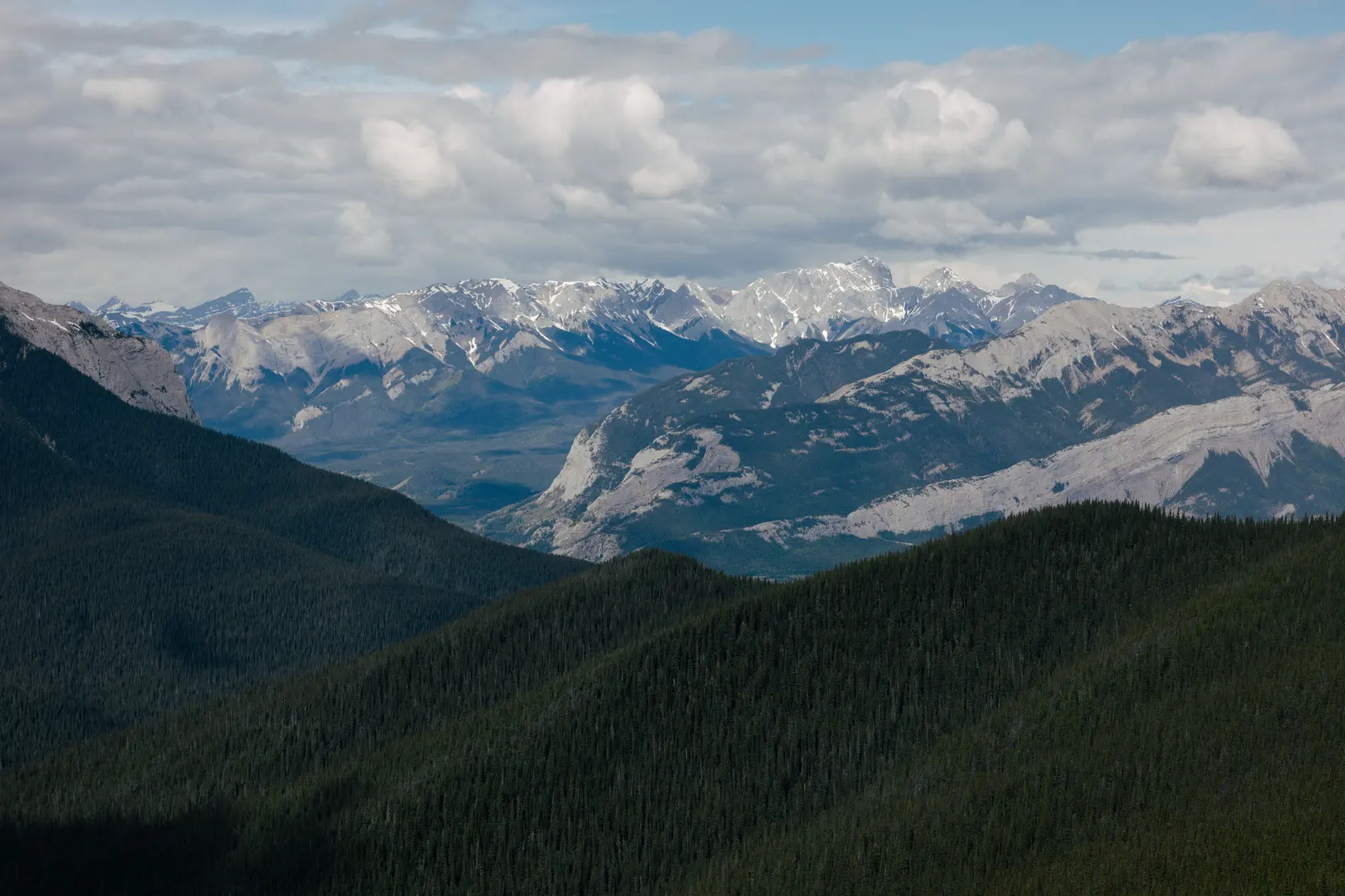
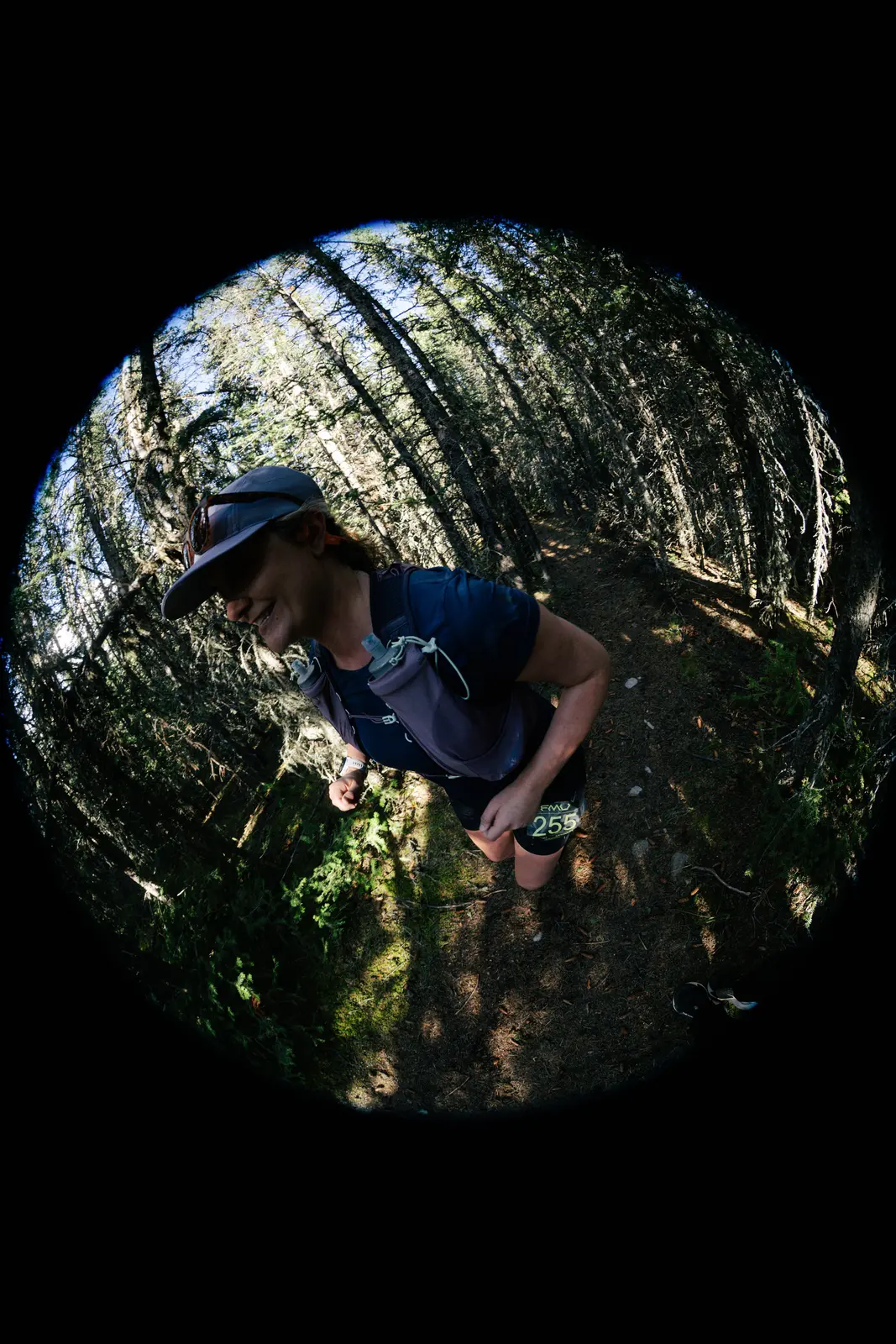
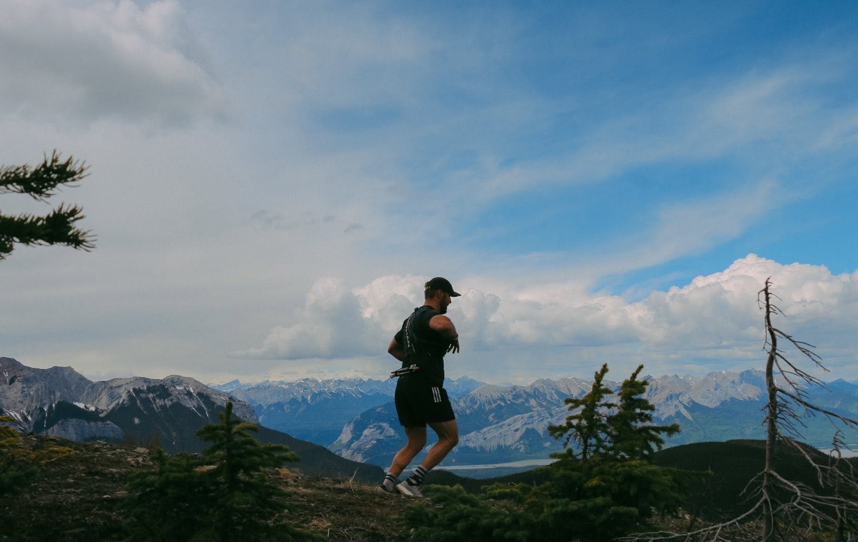
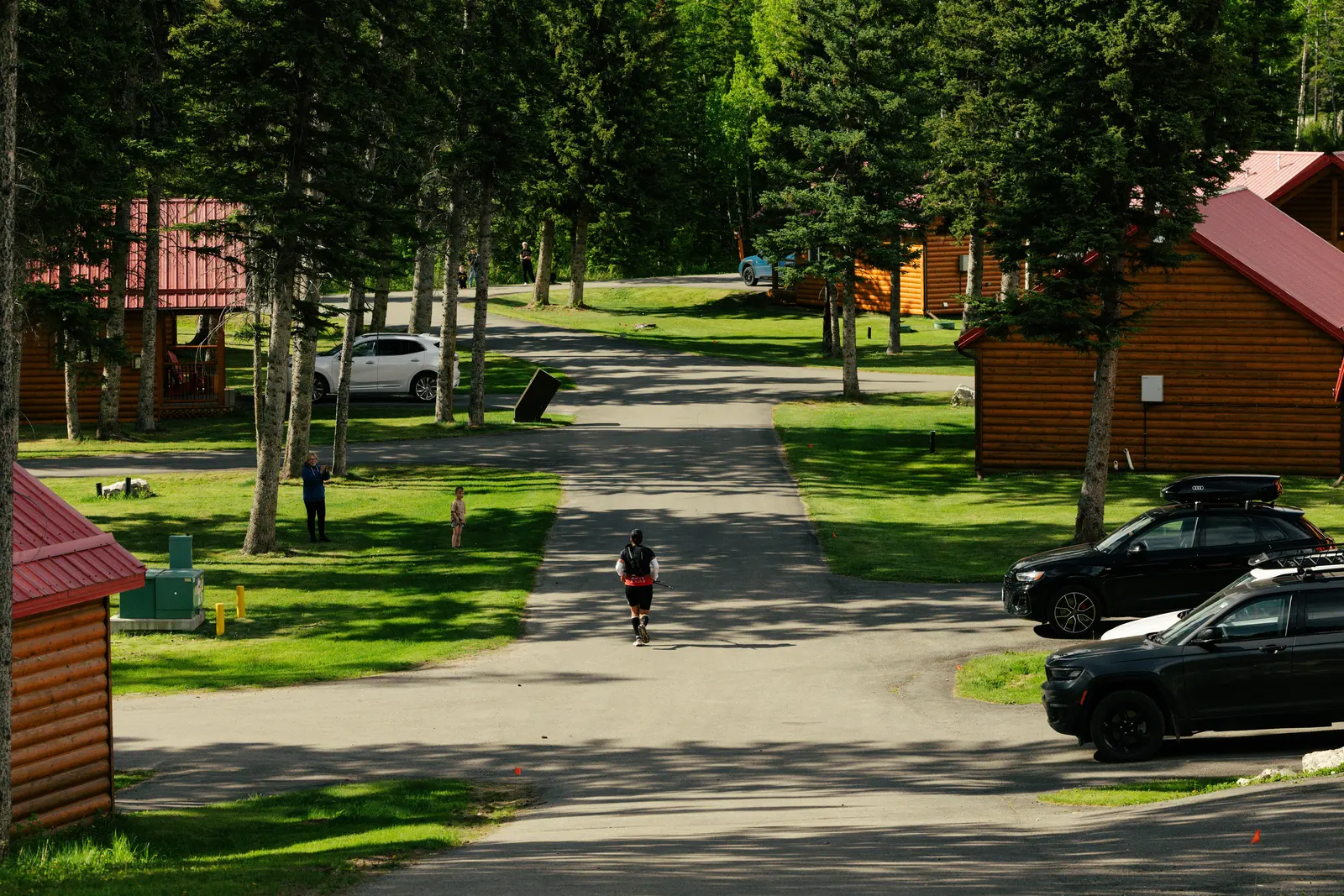
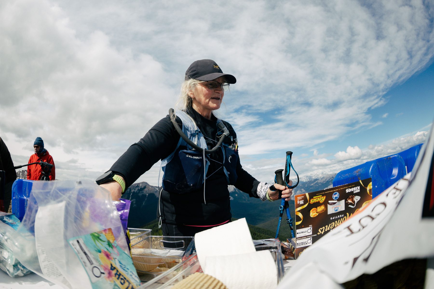
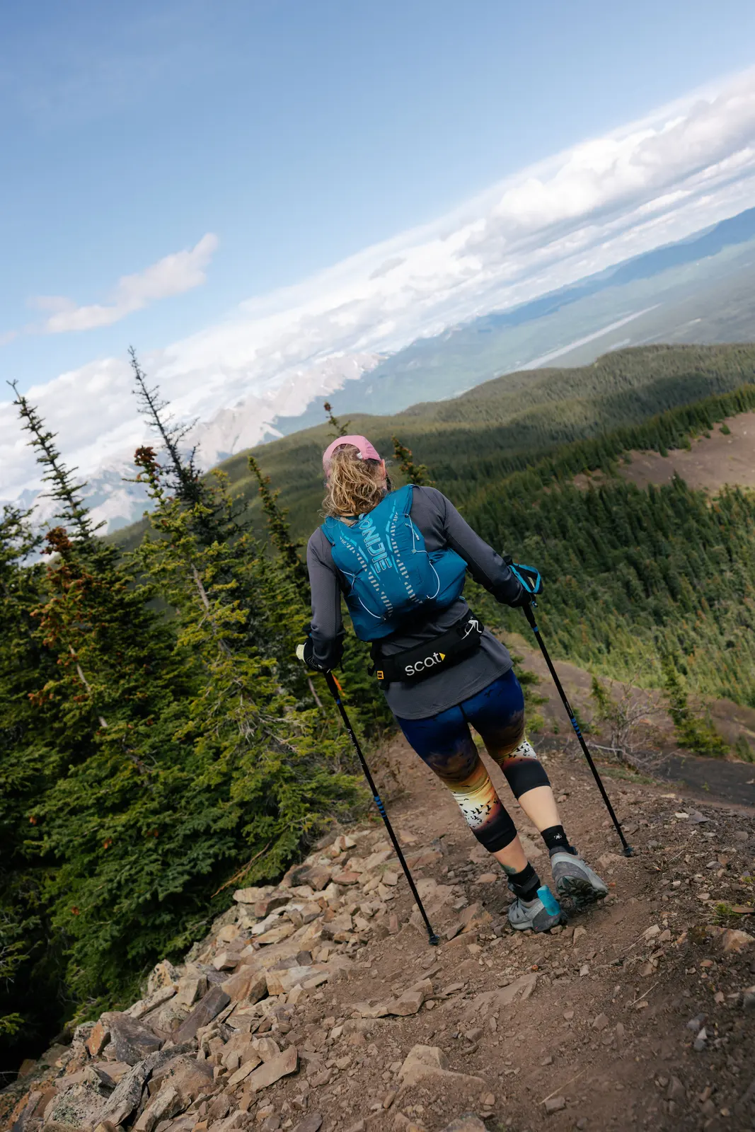
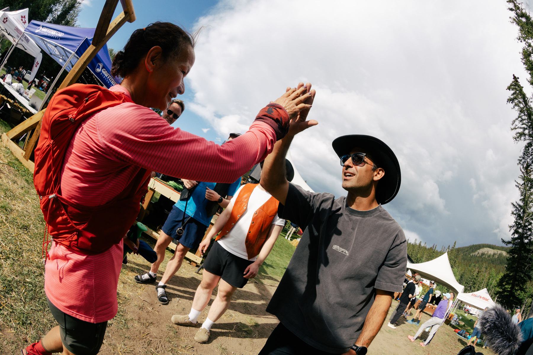
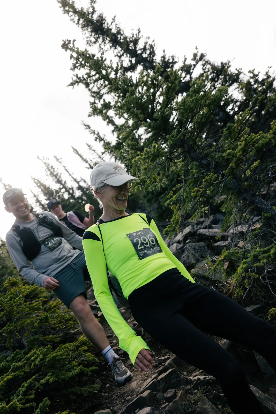
The first 11 km are a fast and pleasant run on the village trail out to Aid Station 1 on the sawmill road, then back along the highway to the Landing and Aid Station 3.
From there the climb starts and does not stop: about 890 m over 7 km up Folding Mountain to the false summit aid station, your turnaround, perched just below the scree.
Then seven kilometres of alpine meadow, forest and flowy trail back to the finish, with Roche à Perdrix and the Athabasca River Valley in front of you the whole way down.
Your second station is AS 3, not AS 2. AS 2 sits out on leg 1 of the 60 km course, which you do not run.
Drop bags go to Aid Station 3. AS 3 is the start/finish at Folding Mountain Landing, which every runner comes back through before heading up Folding Mountain. It is the only drop bag point on either course — 60 km and 25 km both leave bags there.
Respect the land. Between the start and AS 1 the course passes through a culturally significant Indigenous site. No photos or video in this section.
Aid stations — 25 km
| Station | Km | Altitude | Leg | Climb | Descent | Notes |
|---|---|---|---|---|---|---|
| START | 0.0 km | 1,147 m | — | — | — | — |
| AS 1 | 6.0 km | 1,109 m | 6.0 km | +120 m | −155 m | — |
| AS 3 | 11.2 km | 1,147 m | 5.2 km | +75 m | −40 m | — |
| AS 4 | 18.5 km | 1,955 m | 7.3 km | +890 m | −80 m | Turnaround |
| FINISH | 25.8 km | 1,147 m | 7.3 km | +80 m | −890 m | Closes 8:00 PM |
Drop bags are at AS 3 only — the start/finish at the Landing. Porta-potties at the start/finish and AS 3.
Benchmarks
| 60 km — Men | 6:40:46 | James Dalke |
| 60 km — Women | 7:29:37 | Maddie Trottier |
| 25 km — Men | 2:37:17 | Nathan Jeffs |
| 25 km — Women | 3:24:30 | Michelle Wigmore |
| 60 km — Relay | 7:42:55 | Alyssa Reimer & George Belanger |
Race day
Before you come
Mandatory gear, schedule, cutoffs, wildlife, drop bags and the full aid station menu.
The 2027 guide replaces this closer to race day
Vol. 2 · June 5, 2027
Registration for 2027 opens on Race Roster and is expected to sell out fast again this year. Leave your email and we'll notify you when the registration date is announced.